Trend forecasts for the construction industry have been predominantly tech-focused for several years, and 2019 is no exception. Notable innovations include a drywall-installing robot, autonomous earthmoving equipment and a strength-enhancing human exoskeleton. As well, some trends are more geared toward European construction practices such as automated brick-laying machines and magnetic high-speed rail technology. While these technological achievements are undeniably impressive, it’s safe to say they won’t be commonplace anytime soon.
So which construction tech trends are we already seeing on sites in 2019? Drones, modular construction, as well as the collection and use of data have fully transitioned from innovative concepts to value-adding tools. In the first article of this three-part series, we take a look at how drones are being leveraged in construction.
Drones
Once considered complicated and expensive, drones are lighter, easier to operate and less costly than ever before. Drones are often referred to as unmanned aerial vehicles (UAV) by photographers, videographers and hobbyists, but in the construction field, the term unmanned aerial systems (UAS) is used. This is because the precision and accuracy needed in the commercial application of a drone requires a system of support equipment on the ground.
How are drones being used in construction?
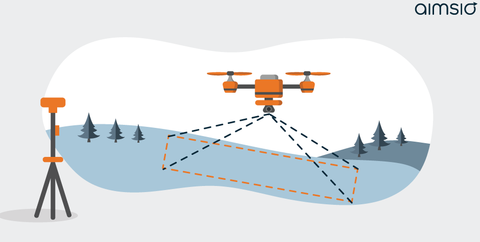
Land Survey

Surveying has experienced several monumentous leaps in the last 40 years with the introduction of robotic total stations, laser scanning and GPS equipment. The recent addition of drones marks another dramatic shift in how surveys are completed. When it comes to the role of drones in land surveying, the resounding consensus is that the biggest benefit of UAS is they collect much more data in much less time. Another important advantage is safety. Drones are able to remotely map steep grades and other dangerous terrain without risking the safety of crew.
While aerial mapping and images produce a clear picture of the land, the big question around drones in legal land survey is: how accurate is the data? The Alberta Land Surveyors Association’s (ALSA) latest Manual of Standard Practice (2018) states that “all new surveys conducted must have a minimum accuracy of 0.02 meters” (2 centimeters). While the manual outlines criteria for ensuring accuracy and reliability when using Global Navigation Satellite Systems (GNSS) measurement, guidelines for data collection with drones, however, are not mentioned. This is because drones cannot collect survey data on their own – they can only function as part of an Real-time Kinetic (RTK) GNSS. Until recently, these RTK and GNSS-assisted UAS were able to achieve horizontal accuracies of 3 cm. Impressive, but not accurate enough to satisfy the requirements of ALSA and other surveyor’s associations. That is until early this year, when a white paper reported the DJI Phantom RTK was able to achieve relative accuracies of 2 centimeters vertically and 1.2 centimeters horizontally, significantly increasing the validity of drones as a reliable tool for collecting accurate legal land survey data.
Not all mapping and surveying in construction requires accuracies of 2 centimeters, so drones have been used on construction sites with lower accuracy requirements for some time. Drones can also capture and transmit a “bird’s eye view” of sites and have been used for monitoring, inspections, safety and client progress reports.
Monitoring

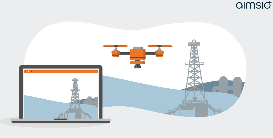
Whether it’s a pipeline right-of-way, residential development, gas plant or commercial construction site, the more superintendents and project managers know about the equipment, materials and labour on their sites, the better. Drones reduce the time it takes to monitor a site, enable a better point of view, and increase the frequency of daily site checks. What had been done in a truck or on foot once or twice a day, can now be easily completed in real-time from a far better vantage point. Sites can be better managed when drones are used for monitoring, positively impacting timelines and budgets.
Inspections & Safety

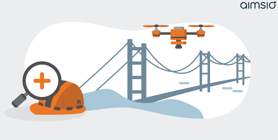
Especially for structures such as bridges and towers, drones are a safe way to carefully inspect for structural integrity and maintenance requirements. Fine-tuned maneuverability, long range control, the ability to hover and transmit high-quality images with 4K cameras means drones are able to complete preliminary inspections without endangering human inspectors. Recording and storing inspection flights creates rich, detailed safety records which increase the rigor of a company’s safety program.
Progress Reports

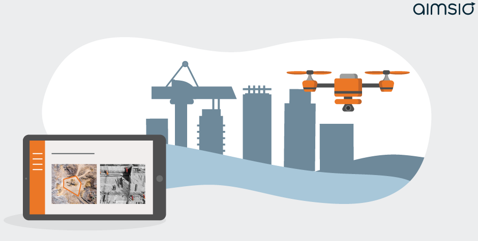
Not to rely on a gimmick, but clients can’t help but be amazed by cinematic aerial footage of their project. Free editing software is user-friendly and producing side-by-side progress video can easily be done without employing a professional studio. We predict drone-captured progress reports will soon be an industry standard, so get ahead of the pack and implement this trend ASAP. Wow your clients before the novelty wears off.
Now that drones are relatively inexpensive and easy to pilot, stakeholders can monitor and manage projects in ways that were not previously possible. Expect to see positive effects on safety and profit increase as the role of drones in construction continues to expand.
The next instalment in our look at construction technology will explore modular construction before wrapping up with the role of digitization and data. For now, we’ll leave you with this article on why the construction industry can’t afford to ignore digital trends. And if you’re interested in learning how Aimsio uses technology to help construction companies, click here.

